
.svg)
Mussel Bed Mapping
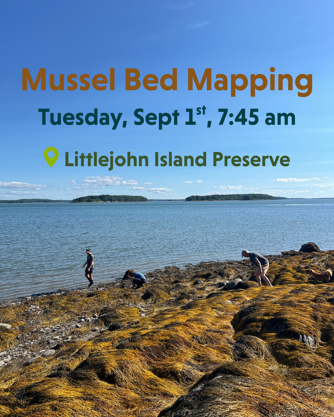
Tuesday, September 1st, 2026 | 7:45 - 8:45 am
Location: Littlejohn Island Preserve, very end of Pemasong Lane in Yarmouth
Join RRCT for a mussel bed mapping bioblitz at Littlejohn Island Preserve to collect data for GMRI's Mussel Bed Mapping Community Science Project! Help us observe where mussels are (and importantly, where they aren't) during an extreme low tide on Tuesday, September 1st from 7:45 am to 8:45 am. While in the field collecting observations, you'll also be learning about blue mussel beds, local ecosystems, and ongoing research.
Parking: For this event, we will open up a special parking area within Littlejohn Island Preserve. Drive to the very end of Pemasong Lane in Yarmouth. Go past RRCT's 4-car parking lot on Pemasong Lane, through the stone gates marked "Private Way," and drive slowly to the end of the dirt road. At the end, turn right, and the service gate entrance will be open. Drive through the gate and park in the grassy area. RRCT staff will be there to direct you. Please respect all speed limits on this private road.
There are several different beach access points from the 1-mile loop trail around the preserve. From where we park, we'll walk along the flat trail for 0.3 miles to the rocky beach at the tip of the preserve. From there, we can choose to walk in either direction along the coastline to look for mussels.
Please note: Fieldwork will take place in the intertidal zone, so be prepared to walk along mudflats and over uneven and slippery terrain to collect data.
Please RSVP here to help us plan accordinly.